
Interaction between erosion in gullies and channels and groundwater in peatland watersheds
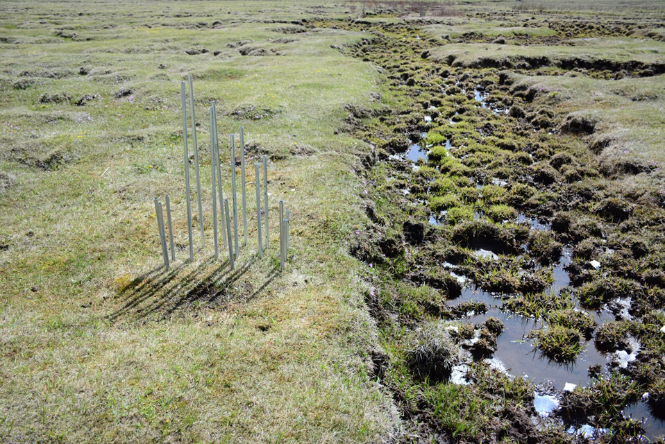
Zoige peatland is a unique land type in the source region of the Yellow River with the area of 5098 km2, which takes about 45% of the total peatland area in the Qinghai-Tiber Plateau. It is located in the Zoige basin that consists of two main tributaries of the Upper Yellow River in the source region, the White and Black Rivers. The Zoige peats store about 68% of total peatland C storage in China’ peatland and has high ecosystem diversity (162 species), 38 mammal species, 137 bird species, and 15 fish species. Yet, they have been suffering degradation and shrinkage for decades. There is a consensus that climate change has been a major culprit for peatland degradation. However, our study on decadal temporal changes of precipitation (P) and evapotranspiration (EP) indicated that though EP has been steadily increased due to increased air temperature, P is also increasing. Furthermore, the degree of increase for P is generally higher than that of EP, suggesting that climate change alone cannot explain peatland degradation (see details in Li et al, 2019). From our multi-year field reconnaissance, we saw broadly distributed gullies in peatland within the Zoige basin because of either human disturbance (artificial ditches to drain surface water for grazing) or natural gullies from hillslope erosion. We believe that gully erosion in upland hillslopes and bank erosion in upstream channels are the dominant factor leading to peatland degradation. As the first step, we measured groundwater levels along two upstream channels and on hillslope between them, and compared the changes of water heads among these locations and their vertical gradients. Our results indicate clearly that in deeper channels whose bed cutting through the peat layer, more groundwater would seep out of the peats, suggesting the potential hydrological impact of gully erosion on peat degradation (see details in Li et al, 2019). These conclusions were further confirmed by our modeling analysis (see details in Li et al, 2019). However, our measurements of groundwater levels over a small watershed showed that they vary greatly in space and over time (see details in Li et al, 2020). This indicates that more research needs to be done at the watershed scale, which will be our future research direction.
The Zoige Peatland

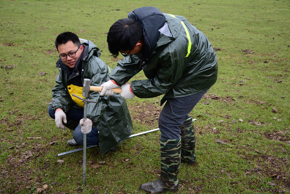
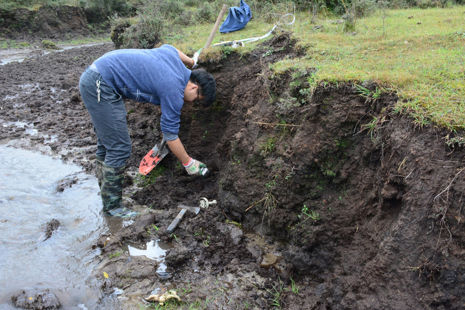
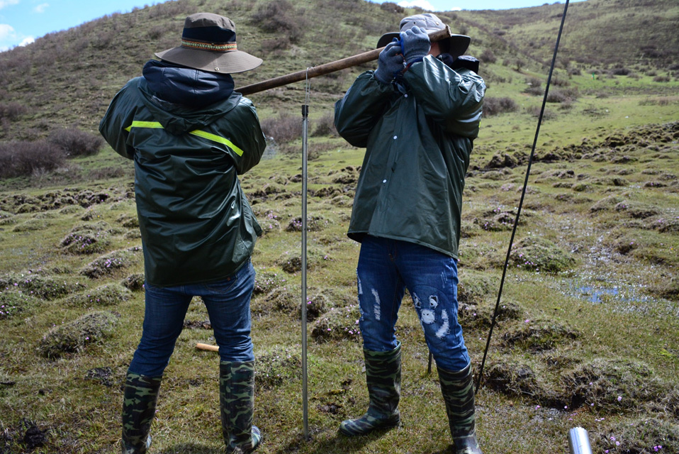
Snapshots of field work:
 |  |  |  |