
Exploring morphodynamic processes controlling braided rivers in the Upper Yangtze River watershed
Braided rivers in the Upper Yangtze River (UYR) watershed are mostly undisturbed by human activities. Their pristine nature makes them perfect natural experimental sites for isolating the influence of pure natural processes driving morphological changes of these rivers under the impact of climate change. It has been well known that accelerated glacier retreat has caused general increase in water discharges and sediment loads through the entire watershed. How these braided rivers response to these changes is still unknown. Our earlier study showed that braided rivers shared similar morphological structures across the watershed, but long-term effect of changing hydrological and sediment-transport processes varies spatially. With this in mind, I propose three scientific questions: (1) what are rules that control longer-term (decades and multiple years) adjustment of morphological structures in braided rivers located in different parts of the watershed? (2) how these rivers response to different sets of storm events? and (3) why short-term (storm events) morphological changes of these braided rivers lead to their similar longer-term morphology? Answering these questions require detailed morphological information of these braided rivers. Yet, their remote location and hard physical access prevent us from performing repetitive field measurements with high frequency. Alternatively, I use Landsat and sentinel images over decades and UAV-based data to obtain a suite of morphological metrics that will be used to correlate to existing hydrological data with the aid of modeling analysis using physically based models.
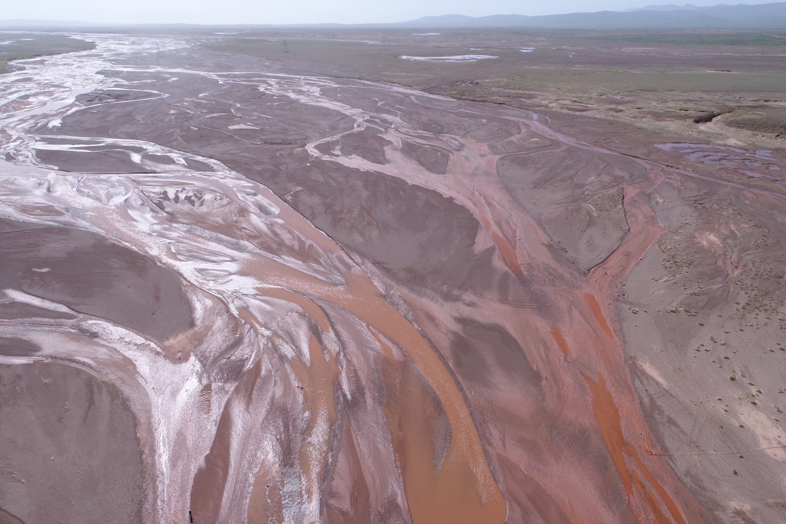
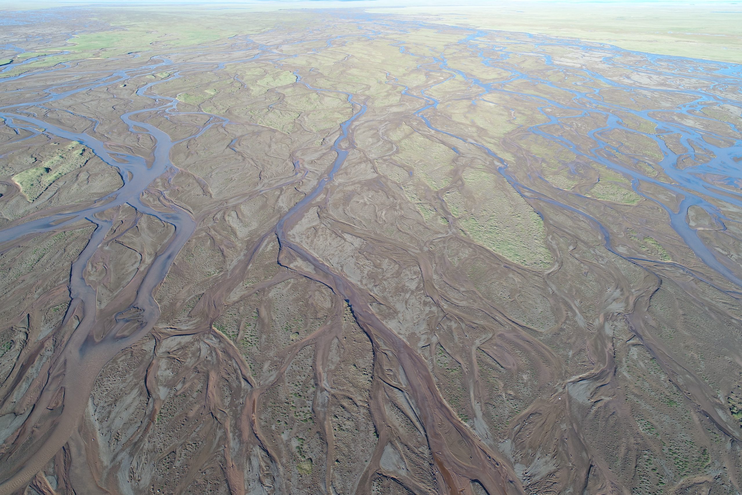
What processes make these two braided rivers (Beilu River on the left and Tuotuo River on the right) different in planform morphology?
 |  |